Infotech + Seiler Geospatial
Infotech and Seiler are connecting Trimble, Esri, and Infotech platforms to modernize inspection workflows and provide turn-key solutions to the infrastructure industry.
LEARN MORE
Simplify Digital Inspection and As-Built Creation
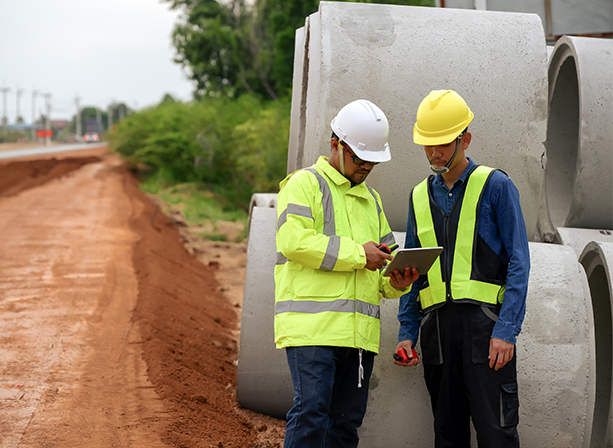
Infotech and Seiler are modernizing inspection for local public agencies and engineering firms through integrations that bridge technology together from leading Software-as-a-Service (SaaS) companies. The companies developed an interoperable workflow with Esri ArcGIS Field Maps, Infotech’s Appia service, and Trimble equipment through an application called GeoBridge.
Appia, Infotech’s construction administration SaaS platform, provides the ability to create daily work reports to document construction progress directly at the jobsite, streamlining the measurement and calculation tasks for inspectors. By integrating Appia and Esri Field Maps, Esri’s mobile app designed for GIS data capture, inspectors can leverage the power of ArcGIS, simplify essential tasks, and streamline the creation of digital as-builts by geo-enabling construction data. Field workers will then be able to combine data-driven maps and mobile forms into one convenient application, enhancing collaboration and efficiency.
Experience the benefits of an integrated solution
Modernize your inspection process with a cost-effective solution by connecting geo-enabled construction progress data from the field to Esri ArcGIS Field Maps.
Leverage familiar field tools like Esri ArcGIS Field Maps in an affordable solution
Create an interoperable workflow for your organization that offers quick configurations
Support your digital project delivery goals by capturing as-built data through an automated process directly from the field
Eliminate data redundancy and errors that cause your organization time and money
What Users Are Saying

“Our field crews are using it every day for electric, water, fiber and we’re mapping every asset that we have out there.”
“Having a solution like this will help my guys who are out there working their butts off trying to get these jobs built with not enough people.”

“Infotech understands how critical comprehensive reporting and data exchange is to the infrastructure industry, and ensuring that process is fully-digital, affordable and easy to use is a top priority. Seiler’s expertise in geospatial data, combined with their track record as one of the largest Trimble distributors, allows this partnership to create remarkable improvements for the industry.”
Will McClave, CEO, Infotech

“Seiler looks forward to assisting municipalities and engineering firms in streamlining their construction administration and inspection on infrastructure projects through our partnership with Infotech, a leader in state and local government construction management.”
Tom Seiler, Seiler Geospatial Executive Vice President
Contact Us
Interested in learning more? Contact us to see if our inspection solution can help your team.
